
Paradise Cay Publications, Inc. NOAA Chart 17300: Stephens Passage to Cross Sound: Including Lynn Canal (Traditional Paper) 33.5 x 44.7
Add your review
4Sailboat Navigation Tools
$28.95
★★★★★
★★★★★
5.0
Why we picked this
Latest Edition Charts
Always receive the most up-to-date NOAA charts for reliable navigation.
Quality Print Options
Available in various formats including traditional paper and waterproof.
Authorized Seller
Certified print agent for NOAA and NGA nautical charts.
$28.95
Smart FAQ
What is the size of the NOAA Chart 17300?
The NOAA Chart 17300 measures 33.5 x 44.7 inches.
What does the NOAA Chart 17300 cover?
The chart covers Stephens Passage to Cross Sound, including Lynn Canal.
Is this chart a traditional paper chart?
Yes, the NOAA Chart 17300 is a traditional paper chart.
Are the charts printed on demand?
Yes, Paradise Cay Publications offers print-on-demand NOAA charts, ensuring you receive the latest edition.
What types of products does Paradise Cay Publications offer?
They offer a complete line of nautical books and charts used for navigation and mariner training.
Are these charts certified?
Yes, Paradise Cay Publications is an authorized print agent for NOAA charts and a certified seller for Canadian Hydrographic charts.
AI-generated from available product information. Always verify details on the official listing.
Add to wishlistAdded to wishlistRemoved from wishlist 0
Product Details
The NOAA Chart 17300 covers the area from Stephens Passage to Cross Sound, including Lynn Canal. This traditional paper chart is designed for mariners, providing essential navigation information. As a product of Paradise Cay Publications, it is part of a broader range of nautical charts and books, ensuring that users have access to the latest editions. The chart is printed on-demand, guaranteeing that you receive the most current information available. This product is ideal for both navigation and mariner training.
- High-quality traditional paper chart
- Covers important maritime areas
- Print-on-demand ensures up-to-date information
- Part of a comprehensive line of nautical resources
Pros & Cons
Pros
- High-quality traditional paper material
- Print-on-demand for the latest editions
- Covers essential navigation areas
- Part of a comprehensive nautical resource line
Cons
- Limited to traditional paper format
- No waterproof option available
- May not include digital features
Related Products
Added to wishlistRemoved from wishlist 0
Garmin GPSMAP 79sc, Marine GPS Hand...
★★★★★
★★★★★
4.7
Added to wishlistRemoved from wishlist 0
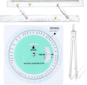
Dunzoom 3 Pcs Marine Navigation Kit...
★★★★★
★★★★★
4.3
$36.99
Added to wishlistRemoved from wishlist 0
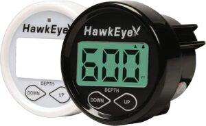
DepthTrax 2B Boat Mount in Dash Dig...
★★★★★
★★★★★
4.4
$79.92
Added to wishlistRemoved from wishlist 0
AOFAR Military Compass,AF-4580 Lens...
★★★★★
★★★★★
4.6
$12.99
Paradise Cay Publications, Inc. NOAA Chart 17300: Stephens Passage to Cross Sound: Including Lynn Canal (Traditional Paper) 33.5 x 44.7
$28.95